Need a Drone for Mapping? 6 Great Options (plus Pros and Cons of Each)
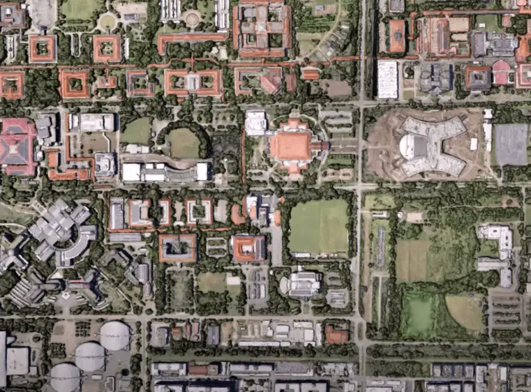
We recently published an article on drone mapping software and mapping apps. This post is complimentary to that one in that we specifically discuss the different drones on the market that allow you to map a field, generate elevation maps, orthomosaics etc. We include a variety of options in our list, including both fixed wing … Read more


